What’s the difference between magnitude and seismic intensity?
Magnitude measures the size of the earthquake itself; intensity measures how hard the ground shakes in one place.
32times
When an earthquake strikes in Japan, alerts flash across TV screens and smartphones: the location and depth of the hypocenter, the magnitude that indicates the size of the quake, and the shindo, or seismic intensity, recorded in each area. People in Japan hear these two numbers almost every time. Yet if you try to explain exactly how magnitude and intensity differ, you may find yourself lost for words.
A common comparison uses a light bulb. Magnitude is like the brightness of the bulb itself, while intensity is like how bright the light is at a particular spot some distance away. The same bulb looks dazzling up close and dim from far off.
Magnitude is the size of the earthquake itself
Magnitude is a scale for the amount of energy released underground when an earthquake occurs. In principle, each earthquake has just one magnitude value. No matter where it is observed from, the quake’s magnitude is the same.
The scale was devised in 1935 by the American seismologist Charles Richter. Using the amplitude of the shaking recorded on seismographs, he made it possible to compare the size of earthquakes with a number. His idea is also known to have been influenced by the work of the Japanese seismologist Kiyoo Wadati.
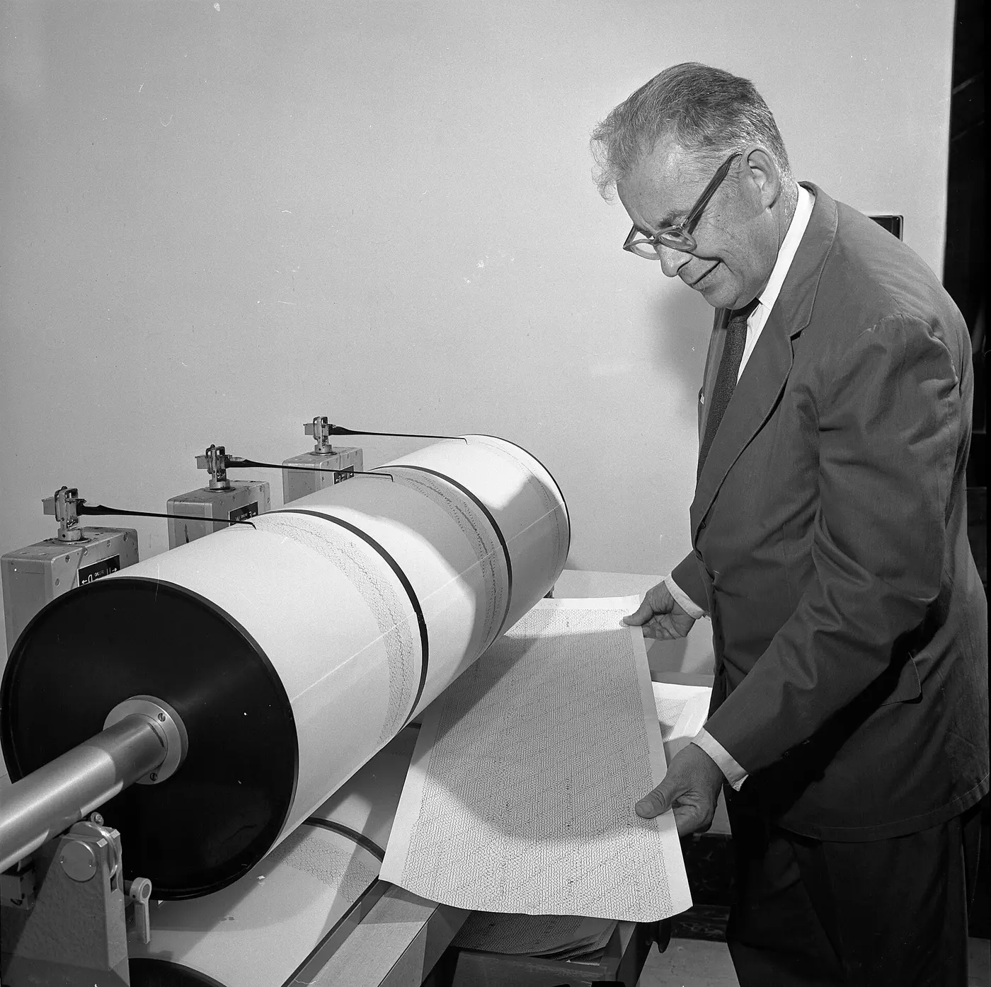

Today, the global standard for expressing the size of especially large earthquakes is the moment magnitude, calculated from factors such as the area of the fault that slipped underground and how far it moved. The Japan Meteorological Agency mainly uses its own JMA magnitude, which can be calculated quickly from seismograph records, and also uses moment magnitude for very large quakes.
One step up means about 32 times the energy
The thing to watch out for with magnitude is how the numbers climb. Each increase of 1 in magnitude means about 32 times as much energy. An increase of 2 means 32 × 32, or about 1,000 times.
So although a magnitude 7 earthquake and a magnitude 9 earthquake differ by just 2 on the scale, there is a gap of about 1,000 times in their energy. A single magnitude 9 quake releases as much energy as 1,000 magnitude 7 quakes. The largest earthquake ever recorded is said to be the one that struck Chile, in South America, in 1960, with an estimated moment magnitude of 9.5. The 2011 Tōhoku earthquake off Japan’s Pacific coast was a 9.0.
Intensity is how hard a particular place shakes
Seismic intensity, on the other hand, describes how strongly a particular place shook. In the same earthquake, shaking is usually stronger closer to the source and weaker farther away. It also depends on the ground: soft soil, for example, tends to shake more than solid bedrock. So a single earthquake has as many intensity readings as there are places where it was measured.
The Japan Meteorological Agency’s intensity scale, used in Japan, has 10 levels running from 0 to 7. After 0, 1, 2, 3 and 4 come “5 lower” and “5 upper,” then “6 lower” and “6 upper,” and finally the maximum, 7. That top level of 7 was created in 1949, prompted by the Fukui earthquake of the previous year, 1948. Later, in 1996, levels 5 and 6 were each split in two, producing today’s 10 levels, and from the same year intensity has been measured automatically by seismic intensity meters rather than judged by how the shaking felt to people.
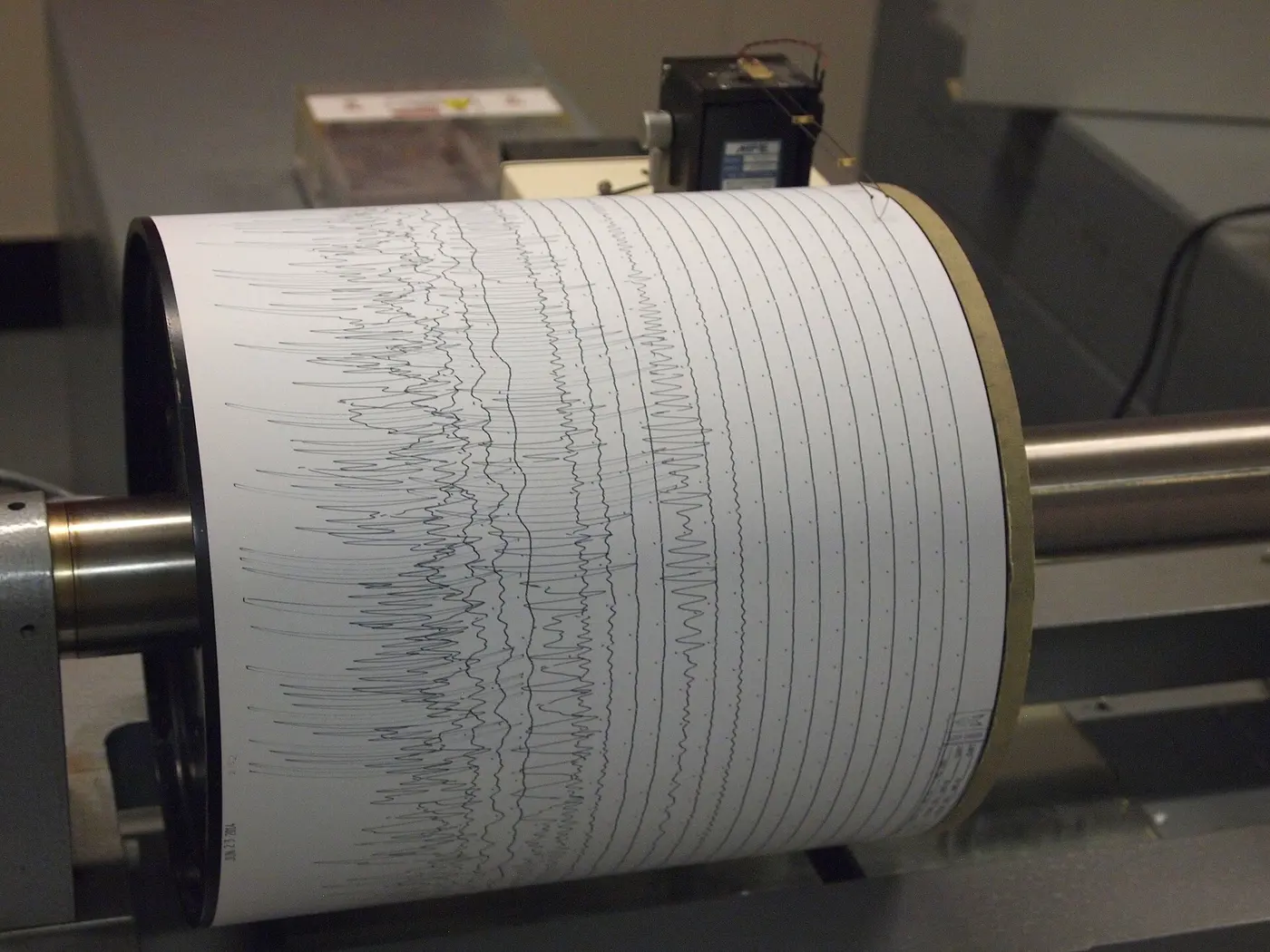

Today, the intensities the agency announces are based on data from more than 4,000 seismic intensity meters installed across the country by the agency, local governments and other bodies.
A big quake can still mean mild shaking
Once you understand the difference, earthquake news starts to look different. Even a high-magnitude quake may produce only moderate intensities on land if its source lies far offshore or deep underground. Conversely, a quake of fairly modest magnitude can cause intense local shaking if its source is shallow and close by.
The way intensity is measured also differs from country to country. The United States and some other countries use the 12-level Modified Mercalli Intensity Scale, and Europe has an intensity scale of its own. While magnitude, which expresses the size of the earthquake itself, is used in common around the world, intensity is a yardstick that each country has built to fit its own buildings and ways of life.