How thick is the ice in Antarctica?
About 2 kilometers on average. At its thickest it tops 4,700 meters, enough to bury Mount Fuji completely.
4757m
Almost all of Antarctica is covered in snow and ice. The ice spreads over about 14 million square kilometers (5.4 million square miles), roughly 36 times the area of Japan.
Looking down from above, though, tells you nothing about how thick that ice is. Antarctica’s ice sits on the continent like an enormous slab. How thick is this ice sheet?
About 2 kilometers on average
In March 2025, an international team led by the British Antarctic Survey released Bedmap3, a new map of the thickness of Antarctica’s ice and the landscape beneath it. It draws on 82 million data points gathered by many countries over about 60 years.
According to Bedmap3, the ice sheet averages about 2,150 meters (7,050 feet) thick. Even including the floating ice shelves that extend out over the sea, the average is still about 1,950 meters. That is more ice than three Tokyo Skytrees (634 meters each, the tallest tower in Japan) stacked on top of each other, covering an entire continent.
In all, there are about 27 million cubic kilometers of ice. If it all melted, global sea level would rise by roughly 58 meters (190 feet).
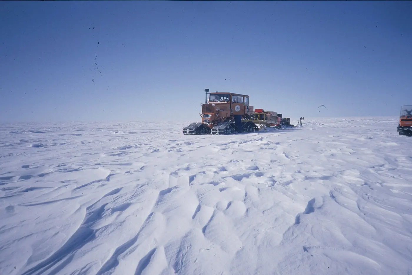

4,757 meters at its thickest
So where is the ice thickest? It used to be thought that the deepest ice lay in the Astrolabe Basin in Adélie Land, East Antarctica. When the data were re-examined for Bedmap3, however, the record went to an unnamed canyon farther west in Wilkes Land, where the ice is 4,757 meters (15,600 feet) thick.
Mount Fuji, Japan’s highest peak, stands 3,776 meters tall. Sink the whole mountain into that spot, and there would still be nearly 1,000 meters of ice above its summit.
Below the ice, below sea level
What lies under ice that thick? Surveys with radar that can see through ice show that Antarctica’s bedrock has high mountain ranges as well as deep valleys and basins.
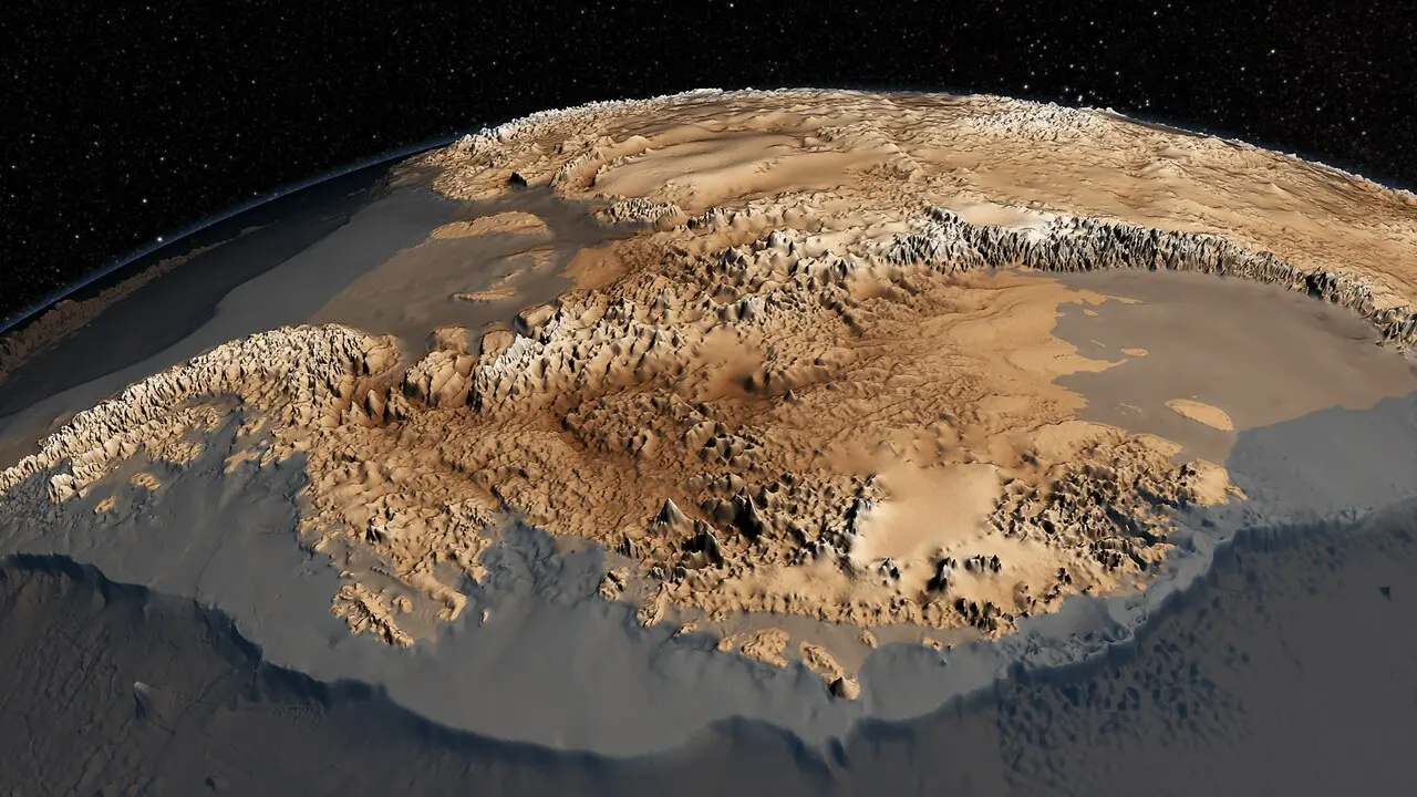
Some of it lies far below sea level. In 2019, a team led by the University of California, Irvine, revealed that the floor of a trough beneath Denman Glacier in East Antarctica lies more than 3,500 meters (11,500 feet) below sea level. That makes it the lowest point on land anywhere on Earth. Even the shore of the Dead Sea, famous as the lowest exposed land, is only a little over 400 meters below sea level. In West Antarctica too, the bedrock drops more than 2,500 meters below sea level in places.
Drilling 3,000 meters of ice
The ice sheet formed from snow that piled up over hundreds of thousands of years and was pressed into ice without ever melting. The deeper you drill, the older the ice, so air bubbles trapped inside can reveal what Earth’s climate was like long ago.
Japan has taken on this challenge too, at Dome Fuji Station, about 1,000 kilometers (620 miles) south of Japan’s Syowa Station, sitting on the ice sheet at an altitude of 3,810 meters. The average annual temperature there is below minus 50°C (minus 58°F), and the air pressure is around 600 hectopascals, lower than on the summit of Mount Fuji. In January 2007, a Japanese team succeeded in drilling down to a depth of 3,035 meters. The deepest ice is about 720,000 years old, and this column of ice records Earth’s history of alternating cold glacial periods and warmer interglacials.
A new drilling project now aims to recover even older ice, more than a million years old. As of January 2026, it had reached a depth of about 1,784 meters.