Is Japan moving?
Yes. Pushed by four tectonic plates, parts of Japan shift by several centimeters a year.
1300stations
The shape of Japan on a map looks as if it hasn’t changed in decades. Houses, mountains—none of them are in a different place today than they were yesterday.
But use satellites to measure positions down to the millimeter, and the story changes. The land of the Japanese archipelago is constantly moving, little by little, in set directions.
Where four plates collide
Earth’s surface is divided into a dozen or so huge slabs of rock called plates. Carried along by slow movements deep inside the planet, each plate drifts in its own direction.
Japan sits where four of these plates meet: the North American and Eurasian plates, which carry continents, and the Pacific and Philippine Sea plates, which form the ocean floor. The heavier, denser oceanic plates dive at an angle beneath the continental ones. Their boundaries are marked by deep grooves in the seafloor, such as the Japan Trench and the Nankai Trough.
The Pacific Plate approaches Japan from offshore to the east at about 8 centimeters (3 inches) a year. The Philippine Sea Plate comes in from the south at a few centimeters a year. That is about the speed your fingernails grow, or a little faster—an extremely slow motion.
1,300 sentinels
Keeping watch on this movement every day is the Geospatial Information Authority of Japan’s network of GNSS reference stations. About 1,300 of them are installed across the country at intervals of roughly 20 kilometers. Each one receives signals from GPS and other positioning satellites and continuously measures its own position. The network has been in full operation since 1996.
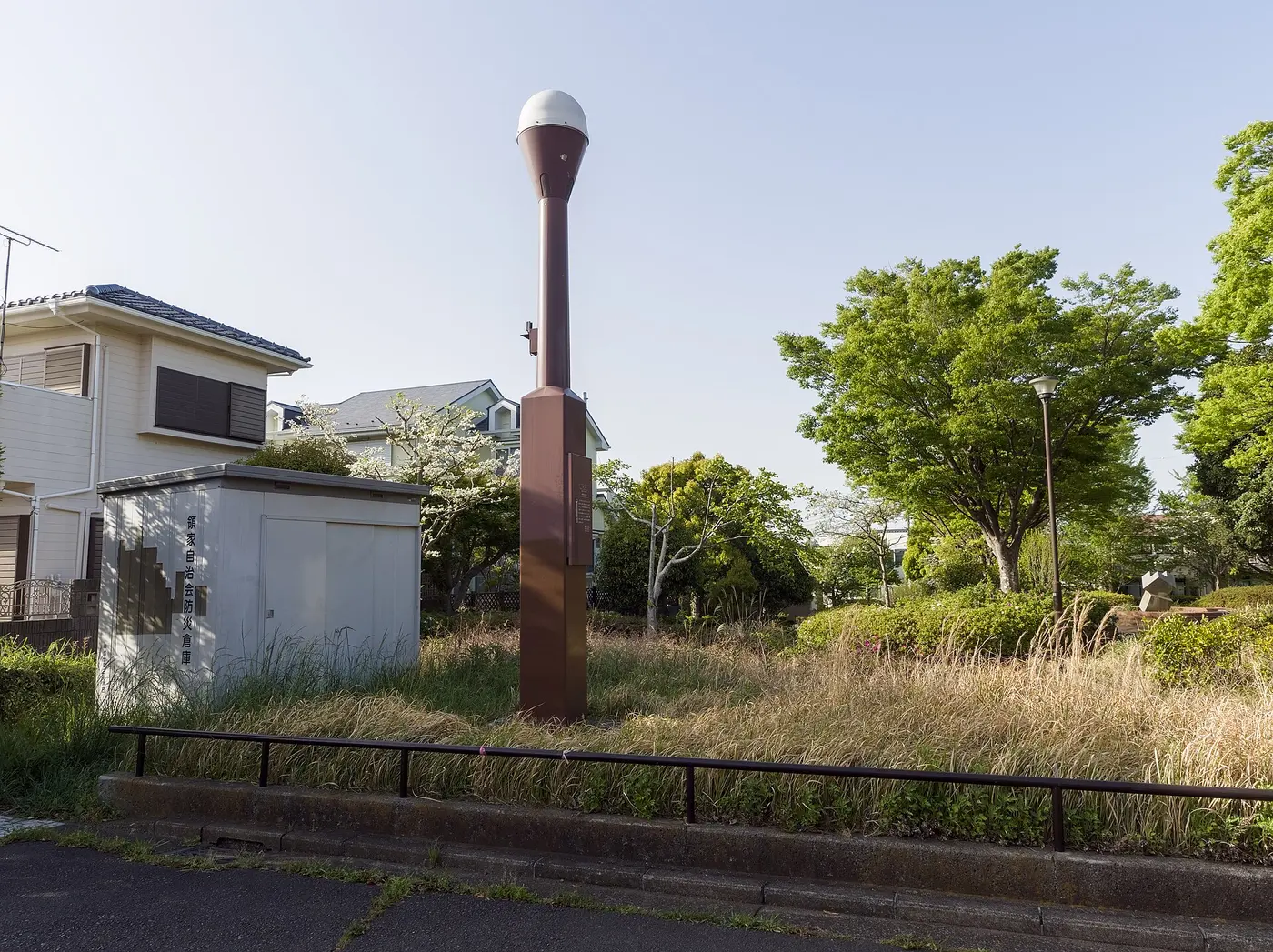

Line up the data from these stations and Japan’s motion emerges like a map full of arrows. Before 2011, for example, many stations on the Pacific side of the Tōhoku region in northeastern Japan were moving westward by a few centimeters a year. Pushed by the Pacific Plate approaching from the east, the continental plate was being squeezed little by little.
Plate boundaries don’t always slide smoothly, though. The overriding plate is dragged along by the oceanic plate sinking beneath it, and strain builds up. Large earthquakes at plate boundaries are what happen when that strain is released all at once.
A peninsula that moved five meters
During the 2011 Tōhoku earthquake of March 11 (magnitude 9.0), the reference stations recorded that dramatic change. The station called “Oshika,” on the Oshika Peninsula in Ishinomaki, Miyagi Prefecture, moved about 5.3 meters (17 feet) east-southeast in the quake and sank about 1.2 meters at the same time. This is thought to have been the land that had been squeezed westward over many years springing back hard in the opposite direction.
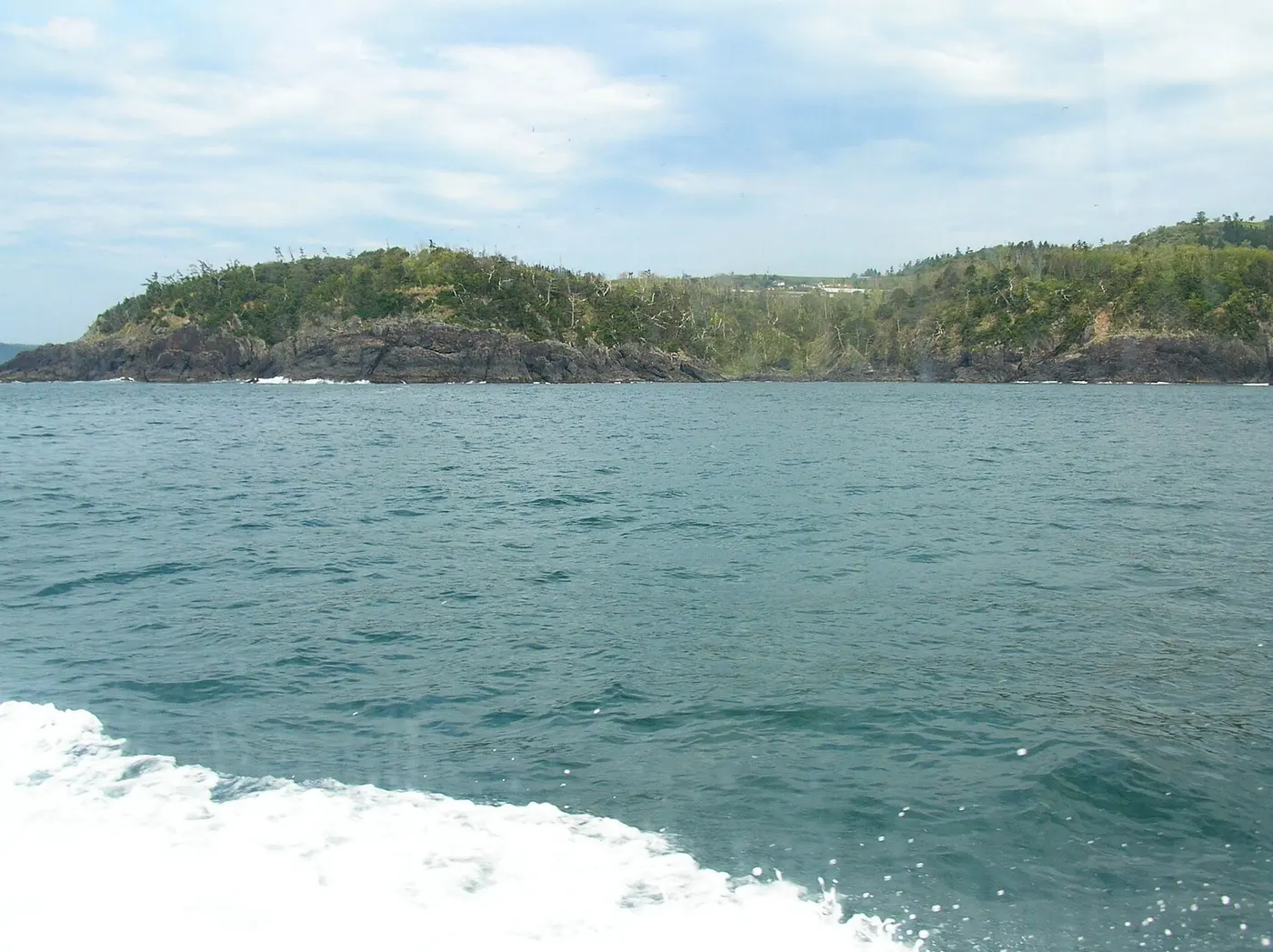

The ground didn’t stop moving when the shaking ended. Afterward, eastward movement—the opposite of the pre-quake direction—continued slowly, centered on the Tōhoku region, and this “postseismic deformation” was still being observed more than ten years later. When the ground moves this much, the position data underlying maps and surveys shifts too. So in 2011, the Geospatial Information Authority of Japan revised the official coordinates of its reference points, mainly in eastern Japan.
On a much longer timescale, the Japanese archipelago itself is a product of plate motion. Japan once sat on the eastern edge of the Asian continent, but it is thought to have broken away between roughly 20 million and 15 million years ago, as the Sea of Japan opened up behind it. The land we live on is still partway through that long journey.